
Guilford County Neighbors by Parcel
The public record can describe a block without creating a household roster. Begin with the target parcel, then identify the parcels sharing a boundary or facing the same short stretch of road. County GIS shows geometry, road context, and parcel identifiers. The tax listing provides a current owner and mailing address for each parcel, while deeds and plats supply the legal description behind those labels. Voter and community resources have narrower uses and must be read within their privacy rules.
| Block source | What it can show around an address | How to use it |
|---|---|---|
| County GIS parcel viewer | Parcel outlines, roads, districts, and adjacent geometry | Public map, pan and identify nearby parcels |
| Parcel Research | Queryable parcel attributes, up to 150 displayed results, and CSV export | Public application with category and operator controls |
| Tax Real Property Listing | Owner, situs and mailing address, parcel, legal description, and record-card route | Address, owner, or parcel-number search |
| Register of Deeds and plats | Transfer sequence, lot, block, subdivision, easements, and legal descriptions | Portal, office, or microfilm |
| State voter information | Lawful voter-file fields, precinct, district, and history context | Name-driven public lookup or official data request |
| Official community resources | Plan areas, civic contacts, boards, and neighborhood geography | City and county source pages, not private rosters |
These sources answer different questions. A parcel owner is not automatically a current occupant, and a voter record is not a complete count of a property’s household. In Guilford County, use each record for its stated purpose, then keep the result limited to the address question at hand.
Map a Guilford County Block Carefully
The adjacent-parcel method is the practical route to Guilford County neighbors. Use the Guilford County GIS Primary Data Viewer or Parcel Research to locate the target. The live map’s full control list was not text-inspected, so use the visible identify or map-navigation tools rather than assuming a buffer feature exists. Record the parcel ID and legal description before moving outward. A shared line on a map is more meaningful than a nearby name returned by a broad search.
- Find the target address and note its parcel ID, situs address, and legal description.
- Pan or identify the parcels that touch the target boundary, then record each parcel ID and street-facing context.
- Open each parcel’s tax listing to compare the owner name, mailing address, and parcel description.
- Open a deed or plat only when the legal description needs confirmation or the boundary is unclear.
- Compare nearby road and district information, then stop at the immediate block rather than building a broad name list.
For a longer named-street record chain, use the Guilford County street address directory. That workflow follows an entire street; the Guilford County neighbor method stays centered on the parcels immediately around one address.
Note: The parcel ID and legal description are steadier research keys than a loose street-name match.
Guilford County Neighbors Can Span Two Geographies
One road can carry two local descriptions. Guilford’s RoadCenterlines data keeps postal code, postal community, municipality, MSAG community, and emergency-service information for the left and right sides of a street. Address-point data can also include unit, ZIP+4, placement method, jurisdiction, and neighborhood-community fields. A Greensboro mailing label or a High Point postal label may not settle which municipal or county service area applies to a particular side of the road.
This [INSIDER TIP] is especially helpful near municipal edges. Check the map record for the target side and each touching parcel before treating a postal community as a civic boundary. The county jurisdictions page distinguishes cities, towns, contracted planning areas, and partial service boundaries. Those labels describe geography, not who lives on a parcel.
Guilford County Neighbors and Property Cards
The Guilford Real Property Listing supports Parcel Number, Owner Name, and Address searches. For an address, the county recommends a full entry such as 515 Smith St. The first three street letters or first three address digits can be used, but a number-only search may also return addresses such as 515, 5515, and 5153. This is a useful way to narrow each parcel after GIS identifies it.
The property card route can provide parcel number or REID, owner name, situs address, tax-bill mailing address, legal description, and listing information. Some card fields still require a manual sample check, so do not promise unobserved sale, sketch, exemption, or acreage fields. The Assessment Payment Status portal adds name, township, map, lot, and REID fields for a more specific search.
This [MYTH] matters: a mailing address is not the situs, and neither proves that a named person is currently at the property. Guilford County property records establish a tax and ownership connection. They do not identify every person connected with a block.
Guilford County Neighbors in Voter Records
The NC Voter Search is a confirmation tool, not a block browser. Its visible fields include first name, optional middle initial, last name, optional year of birth and county, plus Registered, Removed, or Denied status choices. Results may provide jurisdiction, polling place, sample ballot when available, absentee information, and voting history. The search is name-driven, so it does not produce a whole-street household list.
North Carolina’s public voter-file categories under N.C.G.S. §163-82.10 include items such as name, residence address, age, party, precinct, district, and voting history, while full date of birth, driver-license or ID numbers, Social Security information, and signature images are protected. The Guilford County Board of Elections handles requests for registration, history, and statistical reports and cites a standard 7 to 10 business-day response target.
The Guilford County Board of Elections page is the official starting point for county election contacts and data-request information.
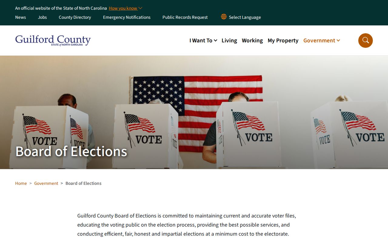
Election information can confirm limited public record details when a person is already identified. It cannot show every member of a nearby Guilford County household or establish that someone is physically present today.
Guilford County Neighbor Civic Geography
Guilford County neighbor research can include public community context without claiming a private membership list. Greensboro plans reference Neighborhood Congress and plan areas such as College Hill, Aycock, Tate Street, and Randleman Road. The City Clerk maintains public boards and commissions information, while the county resident-boards page concerns public service and applications. These are civic geographies and public roles, not proof that an individual lives on a particular block.
County Planning and Zoning
Coordinates address assignment, the master street database, planning material, and county jurisdiction context.
Guilford Planning and Zoning
Greensboro Community Resources
Provides an official community-resource route that is better suited to local context than an unverified social listing.
County Boards and Commissions
Lists a public civic participation channel; its records should not be read as an address directory.
Guilford County Planning and Zoning maintains the county’s planning and addressing context.
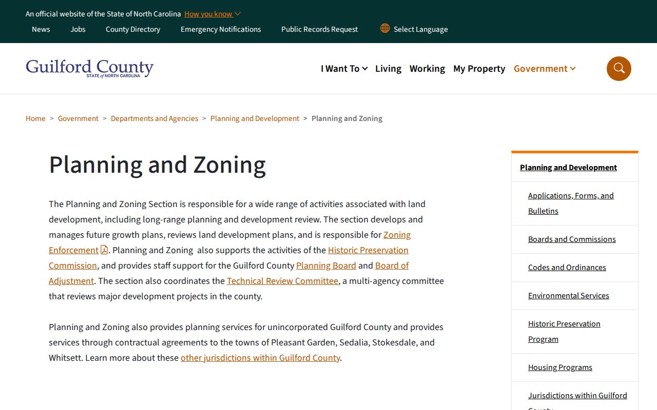
Use public agency pages to understand the area around a Guilford County parcel. Only an association that publishes its own contact material can speak for its membership, and no authoritative countywide private association roster was found.
Note: Board service, a community plan, or a civic contact does not establish a person’s home address.
Official and Commercial Neighbor Records
Official sources show the record they keep and the limits attached to it. A commercial neighbor tool may combine property, marketing, and address-history material, but such compilations can be stale, merge similar names, or omit people who corrected or removed a profile. Use an official Guilford County parcel or voter source when the question concerns its own record, then confirm the result with the relevant custodian.
| Official record channel | Commercial compiled category |
|---|---|
| Identifies the responsible public office and a specific record type. | May combine several record types without showing how each was updated. |
| Can be checked against a parcel, legal description, voter rule, or public-community source. | Can retain stale, merged, or incomplete identity information. |
| Offers an office, request route, or correction path where the research identifies one. | Removal and correction depend on the operator and can reappear after a refresh. |
Guilford County Neighbors and Permit Context
Permits can help explain changes to a structure or a visible project on a block. The Greensboro permit scheduler supports an address or permit-number lookup. Guilford County GIS also publishes a building-permit map layer. A permit record is project context, not a complete history of the parcel or a personal directory. It should be compared with the parcel, deed, and map layer when the dates matter.
The Guilford building-permit map layer provides the official layer assigned to this record type.
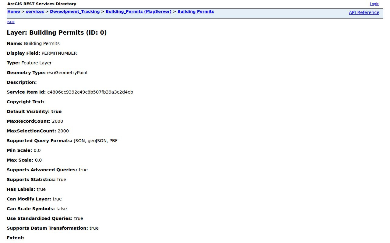
When a permit adds useful timing, keep it beside the Guilford County parcel and legal-description evidence. It can date a project, but it does not settle who is associated with a property.
Privacy Limits for Guilford County Neighbors
North Carolina Public Records Law opens public records but does not open every personal detail. The Address Confidentiality Program can protect actual addresses for qualifying participants, and N.C.G.S. §132-1.2 protects voter signature images, full date of birth, driver-license or ID information, and parts of Social Security data. DMV, utility, delivery, sealed court, and juvenile records are not an alternate route for a neighbor search.
Respect the difference between a public property record and a person’s private life. An empty voter or property result is not proof that no one is connected with a Guilford County address, and a public result is not permission to publish a social map of a block. Ask the custodian about a legitimate correction or access question.
Lawful use. Guilford County neighbor research is for civic awareness, personal safety, and local curiosity. Do not use public records to watch, harass, intimidate, or harm anyone.