
Guilford County ZIP Code Coverage
County GIS calls its RoadCenterlines postal-code domain “Valid postal codes, Guilford County.” The table preserves every coded ZIP value extracted from that schema on August 29, 2026. It is a county GIS and addressing reference, not a promise that every value is an ordinary delivery ZIP, shares one municipal boundary, or covers a fixed population. The postal label column is intentionally a verification prompt. Use a real street address with USPS before treating any row as the delivery answer for a particular location.
The Guilford County GIS Online Services hub connects the public mapping tools that give this ZIP list its local geography.
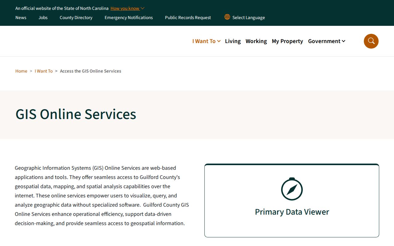
The county tools are useful for locating a road, address point, parcel, municipality, and postal-community context together. They do not turn a ZIP into a city-limit map.
| ZIP code | County GIS area or community context | Post-office/city label to verify | County-specific note |
|---|---|---|---|
| 27214 | Browns Summit / northeast Greensboro area | Browns Summit / Greensboro | Use USPS street lookup for the exact address. |
| 27215 | Burlington fringe | Burlington | County service boundary can differ from city line. |
| 27233 | Greensboro postal / PO-box geography | Greensboro | Do not assume ordinary street delivery. |
| 27235 | Colfax / northwest Guilford | Colfax | Community label can differ from municipality. |
| 27244 | Greensboro-area postal geography | Greensboro | Verify address-level delivery. |
| 27249 | Gibsonville area | Gibsonville | Municipal boundary and ZIP can diverge. |
| 27260 | High Point | High Point | Includes the High Point Detention Center address area. |
| 27262 | High Point | High Point | High Point city and postal label. |
| 27263 | High Point | High Point | Verify street-side boundary. |
| 27265 | High Point | High Point | County GIS domain value. |
| 27282 | Jamestown | Jamestown | County District 3 office example uses this ZIP. |
| 27283 | Summerfield / Greensboro-area postal geography | Greensboro / Summerfield | Verify USPS locality. |
| 27284 | Kernersville fringe | Kernersville | Guilford and Forsyth boundary issue; use address lookup. |
| 27298 | Greensboro-area postal geography | Greensboro | Address-level USPS verification required. |
| 27301 | Archdale / McLeansville-area county GIS context | McLeansville / Archdale | County District 2 example is on Millstream Road. |
| 27310 | Oak Ridge / northwest county | Oak Ridge | Contracted-town addressing context. |
| 27313 | Pleasant Garden | Pleasant Garden | Contracted-town addressing context. |
| 27317 | Greensboro-area postal geography | Greensboro | County GIS domain value. |
| 27320 | Reidsville fringe | Reidsville | County-edge ZIP mismatch is possible. |
| 27357 | Stokesdale | Stokesdale | Contracted-town addressing context. |
| 27358 | Summerfield | Summerfield | County District 1 office example uses this ZIP. |
| 27360 | Thomasville-area postal geography | Thomasville | County-edge and municipal mismatch is possible. |
| 27377 | Whitsett | Whitsett | Contracted-town addressing context. |
| 27401 | Central Greensboro | Greensboro | County seat and downtown office area. |
| 27403 | Greensboro | Greensboro | Use USPS street verification. |
| 27405 | Greensboro | Greensboro | ZIP can cross city or service geography. |
| 27406 | Greensboro | Greensboro | Use USPS address verification. |
| 27407 | Greensboro | Greensboro | Use USPS address verification. |
| 27408 | Greensboro | Greensboro | Use USPS address verification. |
| 27409 | Greensboro airport / west-side context | Greensboro | Road and municipality boundaries can differ. |
| 27410 | Northwest Greensboro | Greensboro | Address-level verification is needed. |
| 27455 | North Greensboro / Summerfield fringe | Greensboro | City and community mismatch is possible. |
Guilford County ZIP Code Geography
Guilford addressing is both a public-safety and postal task. County GIS manages addresses in unincorporated areas and contracted towns including Stokesdale, Oak Ridge, Pleasant Garden, Sedalia, and Whitsett, while coordinating with municipalities, Emergency Services, Guilford Metro 9-1-1, and developers. Planning, tax collection, and municipal services do not all share the same footprint. An address with a Greensboro postal label can be outside Greensboro's corporate boundary, and a High Point or Kernersville label can cross another county or city context.
The county's jurisdictions within Guilford County reference shows why postal and local-government geography must be kept separate.
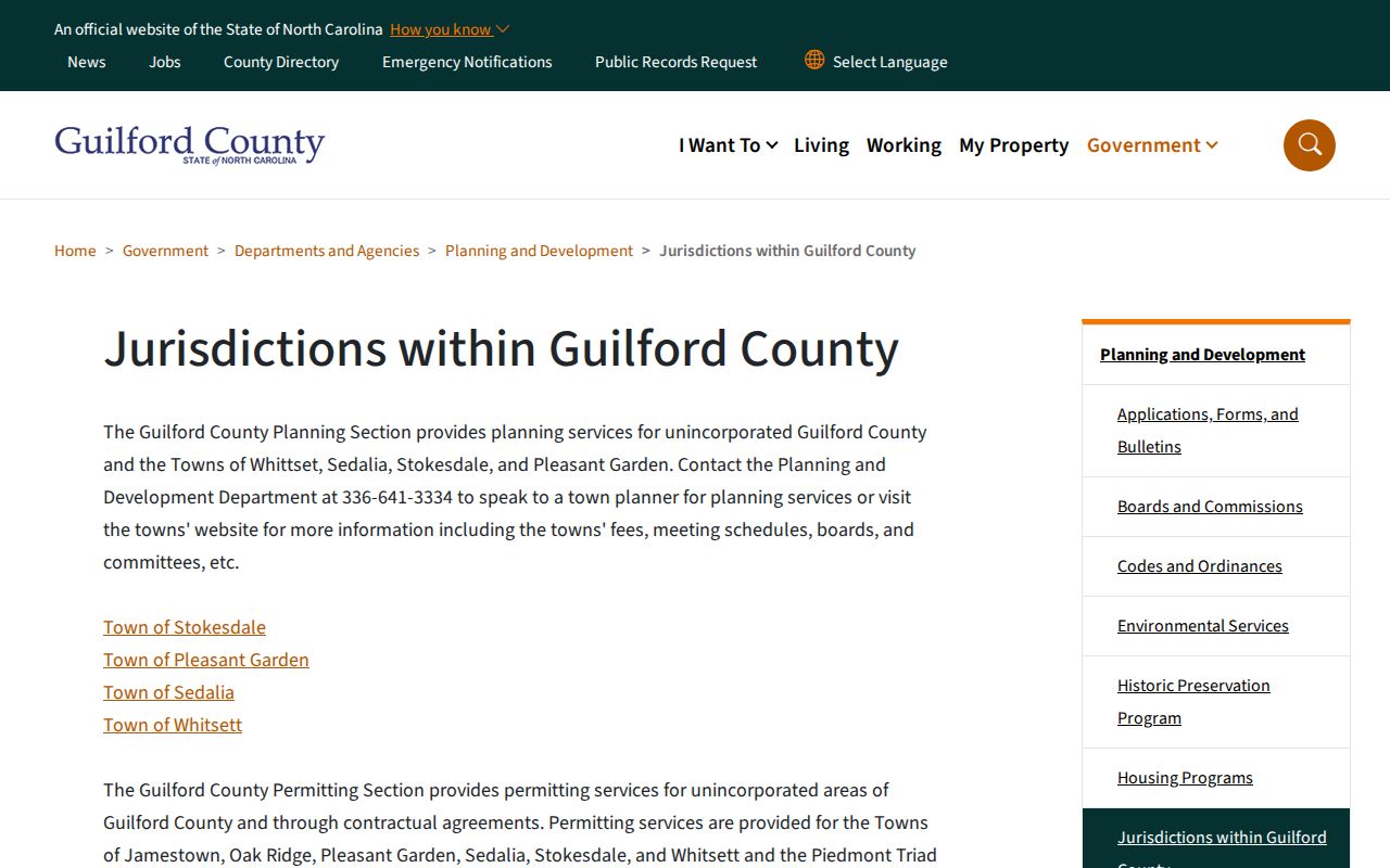
Compare that jurisdictional context with the address point and parcel before drawing a conclusion from a Greensboro, High Point, or neighboring postal label.
Myth. A ZIP code does not settle jurisdiction. The road data stores Postal Code Left and Right, Postal Community Left and Right, incorporated or unincorporated community, MSAG community, and ESN on both sides of a segment. Neighbors across the same road can therefore have a different ZIP, postal community, municipality, or public-safety reference. Check the full address and parcel before interpreting a ZIP as a civic boundary.
Verify Guilford County ZIP Codes
Use the USPS ZIP Code Lookup with a complete Guilford County street address before relying on a postal label. This is especially important for 27233, 27244, 27298, and other domain values whose ordinary street-delivery status or postal naming was not fully exposed by the GIS schema. USPS supplies the address-level check that the RoadCenterlines domain cannot provide by itself. It is the appropriate final check for city and ZIP formatting used on mail.
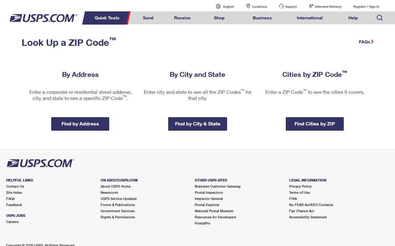
The county domain values remain useful for map work. USPS verification keeps the Guilford County ZIP code directory from overstating a postal area, a post-office label, or a delivery pattern that the research did not observe directly.
Note: Postal community, municipal boundary, and tax jurisdiction are separate fields in county data, so retain each one when recording a local address.
Guilford County ZIP Portal Limits
The reviewed county and state portals do not support a single ZIP-wide people search. The Real Property Listing landing form displays Parcel Number, Owner Name, and Address, not a ZIP mode. The Assessment Payment Status portal displays Search Name, Township, Map Prefix, Map Number, Map Suffix, Block Number, Block Suffix, Lot Number, and REID Number. NC Voter Search offers County, not ZIP. Parcel Research may have additional search categories, but the text inspection did not expose their labels, so a ZIP category cannot be claimed without a live verification.
| Observed lookup | Visible fields or modes | What the research supports |
|---|---|---|
| Real Property Listing | Parcel Number, Owner Name, Address | Find a known property by address, name, or parcel. No ZIP search mode was observed. |
| Assessment Payment Status | Name, township, map and lot parts, REID | Use specific assessment identifiers. No ZIP input was observed. |
| NC Voter Search | Name, birth year, county, voter status | Confirm a named registration record. It does not offer ZIP as a displayed filter. |
| Parcel Research | Operator, category, criteria, query, CSV export | Its category choices require a manual live check before claiming a ZIP query. |
The Guilford assessment-status portal shows the detailed map, lot, township, and REID search path.
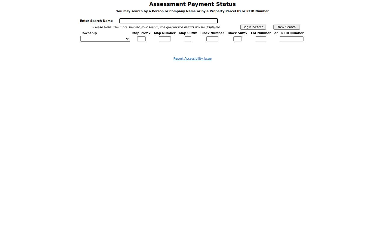
Those field choices can help once a parcel is known, but the portal was not observed accepting a ZIP code. More specific inputs are the county's stated preference.
Find Residents Within Guilford ZIPs
A ZIP can narrow the geographic starting area, but a sound Guilford County ZIP code search becomes address- and parcel-specific before it reaches a person-related record. Start with the postal result, locate the address on a county map, and then use the property or election tools only for the particular record each system keeps. This avoids treating a delivery geography as proof of residence or jurisdiction.
- Verify a complete street address with USPS, recording the returned postal city and ZIP.
- Locate that address in Guilford GIS and compare the address point, road segment, postal community, municipality, and parcel context.
- Use the Real Property Listing address mode or a parcel number to obtain the property record, legal description, and ownership correspondence data.
- If the task requires a registration check, use the name-driven voter search with county and permitted status fields rather than claiming a ZIP-wide voter result.
- When the search narrows to one road, use the Guilford County street directory for the address-to-parcel and deed sequence.
The parcel number and legal description form the stable crosswalk: parcel → address point or road → ZIP and municipality → owner mailing data → deed or plat. A lot, block, or subdivision description can bridge an old address to a current parcel.
Guilford County Parcel ZIP Context
The Tax Department's property record is useful after the postal check, not before it. It can tie a parcel to owner names, situs address, tax-bill mailing address, legal description, and listing data. The situs is the physical property location. A mailing address is where the tax bill goes, which may be an owner, agent, trust, business, or address outside the county. Neither field should be restated as a complete account of who is present at a property.
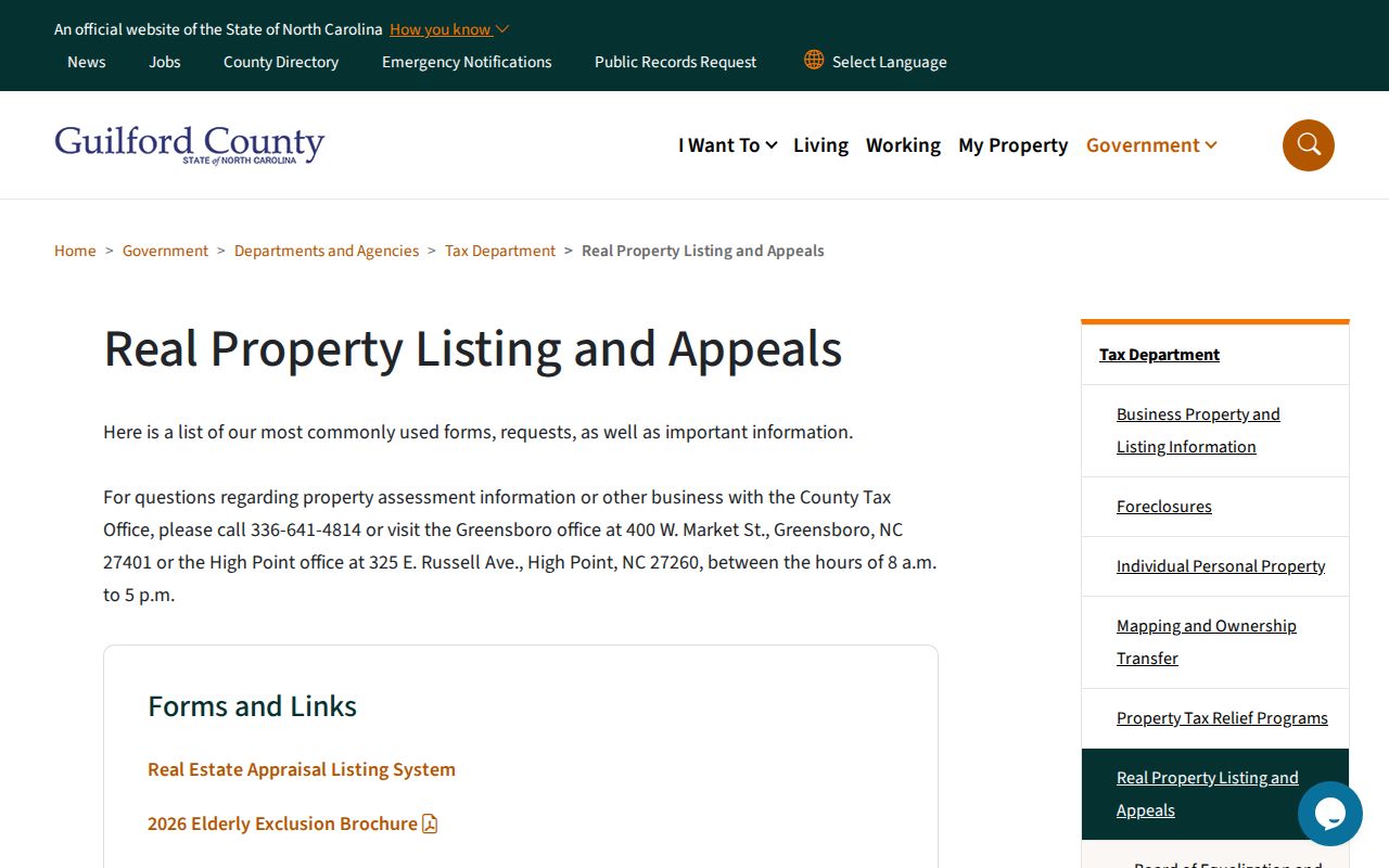
The county's real-property listing and appeals information describes the current property-record setting and the 2026 reappraisal context.
Use the property card with GIS rather than as a stand-alone ZIP result. Current tax-system data changes daily, and the research did not verify every card field from a non-sensitive example.
Guilford County Election ZIP Scope
The Guilford Elections Lookup supplies a local map layer for precincts, municipalities, county commissioners, school board, courts, General Assembly districts, and Congress. It is a useful companion after the street address has been verified. The research describes map layers and precinct party percentages, but it does not show a ZIP search mode. Use it to understand which election geography attaches to a known address, not to convert a ZIP into a list of registered people.
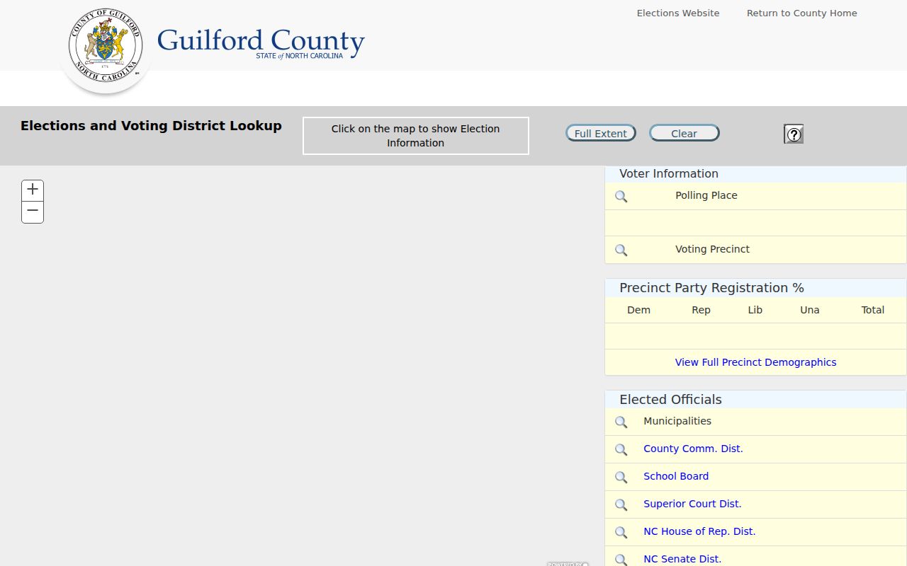
Election boundaries, ZIP boundaries, and municipal limits serve different purposes. The statewide voter search adds name, birth-year, county, and status fields, while public voter data protects full dates of birth, driver-license or ID numbers, Social Security numbers, and signature images.
Guilford County ZIP Code Boundaries
ZIP code boundaries and city limits should be read as different kinds of geography. Postal service uses delivery routes and mailing labels. Municipal boundaries control local government territory. Guilford GIS separately holds postal community and incorporated or unincorporated community. The county's two-city, multi-town pattern makes the difference visible from northwest Oak Ridge, Stokesdale, and Summerfield through central Greensboro, High Point, Jamestown, Pleasant Garden, Whitsett, Sedalia, and Gibsonville.
- ZIP code and ZIP+4
- A ZIP code identifies a broad postal area. ZIP+4 adds a more specific delivery segment; it is not a municipal boundary.
- PO-box ZIP
- A postal code used for box service. The county GIS value alone does not establish whether a particular ZIP is box-only.
- Unique ZIP
- A ZIP associated with a single organization or address. No Guilford unique-ZIP claim is made here because the research did not verify one.
- Carrier route
- A postal delivery grouping within an area. It is more specific than a broad ZIP, but it is not a parcel or civic-district boundary.
Practical check. Pair the USPS result with the county parcel and road data before using a Guilford County ZIP code in a property, civic, or family-history search.